
In this article (4)
A runoff path or flood zone can affect your project even if it is not located on your plot, for example on the neighbouring plot. There are two ways to view them in Airplan.
From the “Contexte” column (when editing an annex)
- If a runoff path exists on your plot, the theme appears automatically in the “Contexte” (context) column. Click on it to display the map: you will then also see the surrounding area.
- If nothing is detected on your land, switch on the “Toutes les couches” (all layers) slider at the top of the column. Layers with no data on your plot then appear in the list: click “Axe de ruissellement” (runoff path) to view the map.
From the project page (visualisation tool)
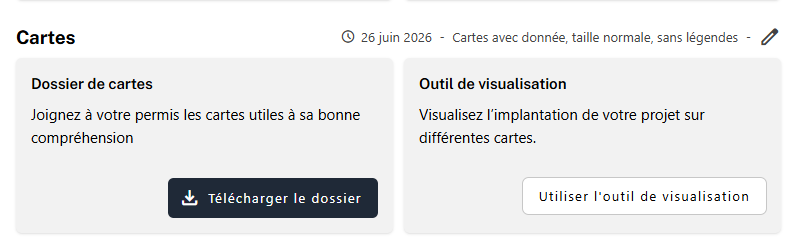
When you are not editing an annex, use the visualisation tool from the project page, in the “Cartes” (maps) box. It works like the “Contexte” column:
- Switch on the “Toutes les couches” slider.
- Select the “Inondations et ruissellement” (floods and runoff) theme.
- Click “Axes de concentration du ruissellement” (runoff concentration paths).
Flood zones
The same “Inondations et ruissellement” theme also contains the flood hazard map and the areas flooded during the July 2021 floods. They are displayed in the same way, in the “Contexte” column or in the visualisation tool.
What this means for your application
- The permit may be refused or granted subject to conditions when the property is exposed to a natural hazard, including flooding and concentrated runoff (Article D.IV.57, 3° of the CoDT).
- The application form asks you to explain how the project does not increase this risk (SPW FAQ, questions 34 and 36).
- When this data is detected, Airplan recommends the corresponding note in box 6 of Annex 4 (flood hazard, area flooded in 2021 or runoff path).