
01
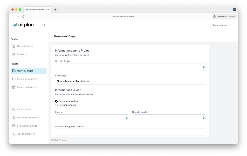
Enter the project once
Client, architect, plots and basic information are kept in one place. The same data is then reused across the permit documents.
Features
All your WalOnMap data, annexes and maps in one tool, built for architects working on projects in Wallonia. Documents are generated in French, or in German where available.
Overview
Each feature takes care of a specific part of the administrative work: collecting, checking, documenting and exporting.
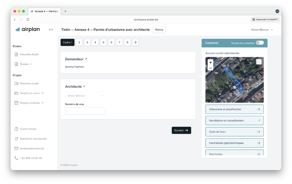
Generate the annexes and forms with contact details, plot data and planning information already filled in.
Learn more →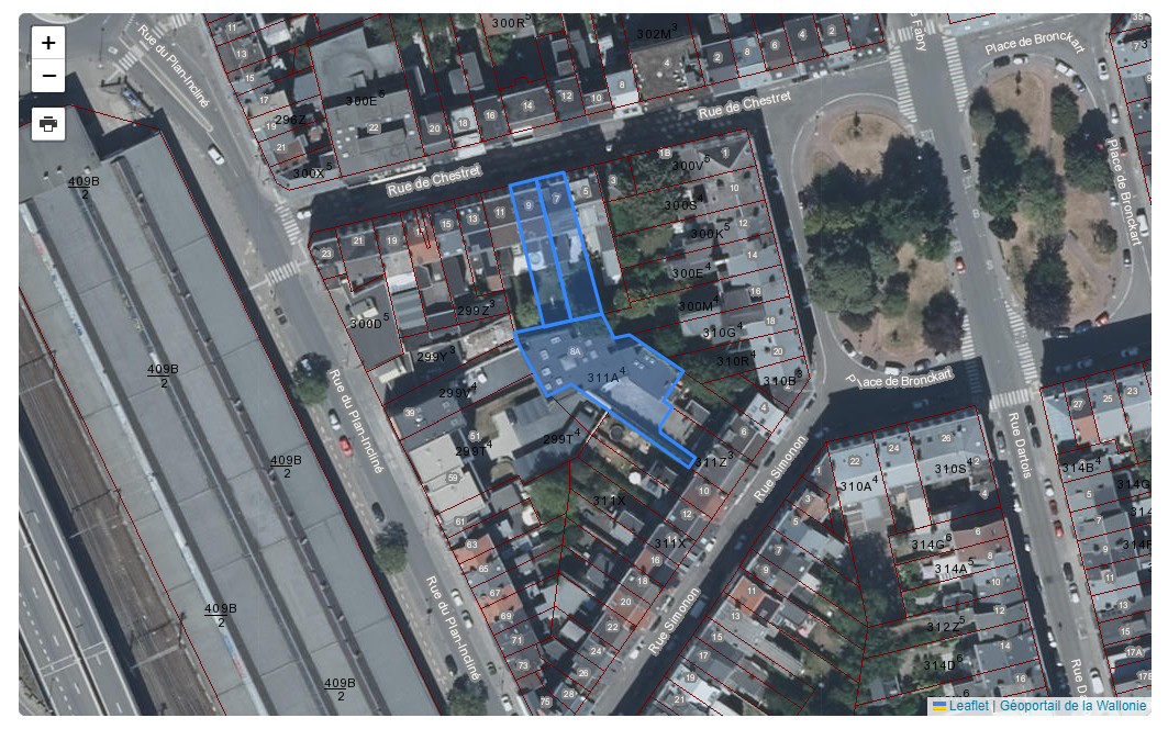
Create the maps your application needs without starting from scratch in WalOnMap for every project.
Learn more →
Organise photos, viewpoints and captions into a clean document to attach to the permit application.
Learn more →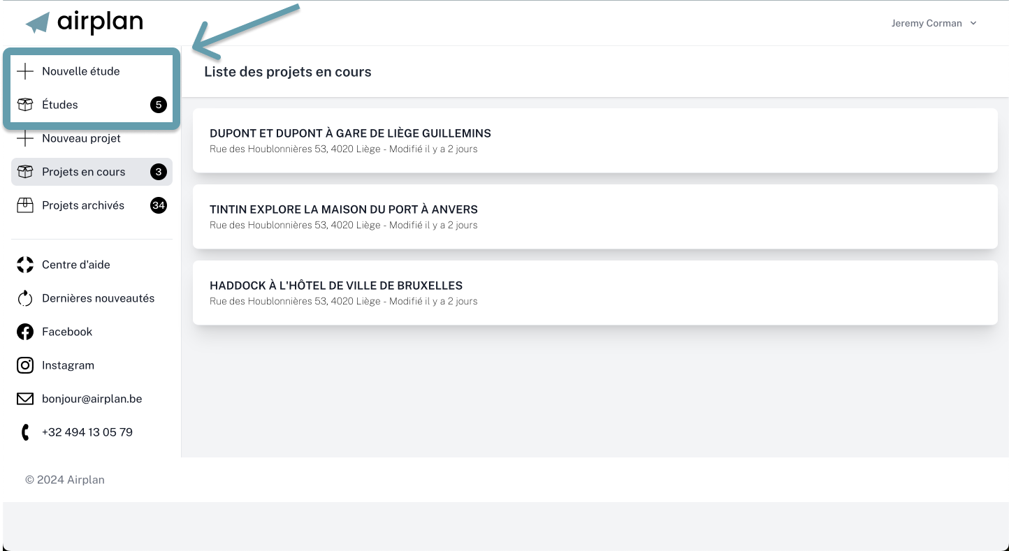
Check the context of a site before going further: plots, constraints, planning rules and relevant data.
Learn more →1 in 7: Airplan estimate based on permit statistics from the SPW (Walloon Public Service), Geomatics Department. Other figures: Airplan data.
Workflow
Airplan connects steps that are usually scattered across maps, forms, Word and manual research.
Client, architect, plots and basic information are kept in one place. The same data is then reused across the permit documents.
Airplan collects plot data, constraints, map layers and other relevant information, so you don't have to search in several places.
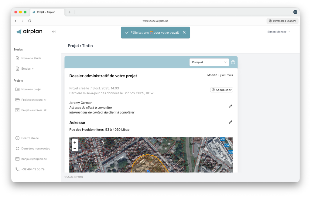
Annexes, maps, photo report and Word documents start from an already structured base, which you can finalise before submission.
Checkpoints
The question this page should answer above all: does Airplan help me avoid an application being declared incomplete?
Find the site's basic information in a readable file, without pointless retyping.
Spot earlier the zones, planning rules or layers that may affect how the permit is prepared.
Export a clean Word base to share, complete or submit the application.
Simple pricing
Airplan avoids opaque calculations: choose a one-off project or an annual subscription depending on your volume of applications.
Try Airplan on a first project, with no credit card.
Add as many plots as you need to a single project, with no hidden costs.
With a subscription, unused projects are carried over when you renew.
Airplan brings together four tools to prepare a permit application: generating administrative documents and annexes, creating maps from WalOnMap, geolocated photo reports, and feasibility studies. They all share the same data, entered just once.
Starting from the cadastral reference, Airplan automatically collects plot data, constraints, planning rules and the official WalOnMap map layers. More than 100 layers are checked for each permit, which saves you scattered manual searches.
Yes. Airplan pre-fills the annexes and forms with the client's contact details, plot data and planning information already entered in the project. The documents are up to date with the new annexes and can be exported to Word.
Yes. Airplan produces a clean Word base that you can review, complete and finalise before submission. The export includes the documents, maps and data structured in the project.
A feasibility study lets you check the context of a site before going further: plots, constraints, planning rules and relevant data are gathered together so you can spot earlier what may affect the permit.
No. The client, architect, plots and basic information are entered once, then reused automatically across all the documents, maps and annexes in the application.
Ready to try it on a real project?
Try Airplan for free, with no credit card, or first see how to create a project and generate the administrative documents.